Hiking In Arthur's Pass
Avalanche Peak track is a strenuous six to eight hour day hike
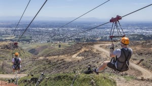
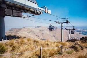
Book Top Experiences and Tours in Christchurch:
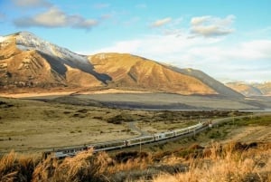
If youʻre booking your trip to Christchurch last minute, we have you covered. Below are some of the top tours and experiences!- Christchurch: Arthur's Pass & Castle Hill Scenic Day Tour
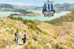
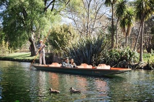
- Christchurch: Tram, Punt and Gondola Ride Combo Ticket
- Christchurch Gondola and Tram City Tour Combo
- Christchurch: Hop-On Hop-Off Tour by Vintage Tram
- Christchurch: Godley Head & Lyttelton Guided Walking Tour
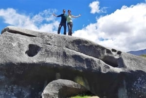
If you are headed to Arthur's Pass from Christchurch, a great stop for a picnic lunch and an enjoyable walk is Castle Hill. Located about 90km northwest of Christchurch on SH73, Castle Hill is a fantasy world of limestone formations that resemble ancient crumbling castles. The Lord of the Rings and the Chronicles of Narnia movies both have used these otherworldly landscapes as backdrops. The trail is an easy 1km walk in each direction with some optional boulder scrambling to explore this strange and enchanting landscape.
Arthur's Pass Visitor Centre
The centre, located directly across from the train station, is the perfect first stop for your visit to Arthur's Pass National Park. Run by the Department of Conservation(DOC), the centre has the latest weather information and daily updates on trail conditions. You can sign in here to advise park staff of your back country hiking plans. Remember to sign out after you complete the hike.
The visitor centre has many excellent artifacts from the early days of travel through the pass, including the only preserved stagecoach in New Zealand. The historic engineering feats of the Otira tunnel and highway viaduct are also highlighted.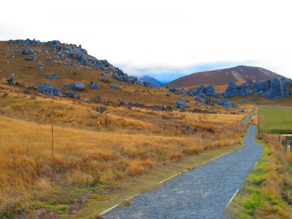 Avalanche Peak Track
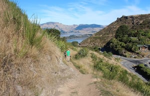
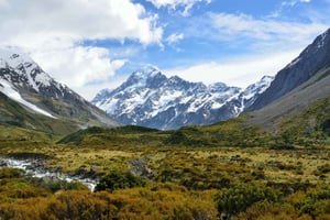
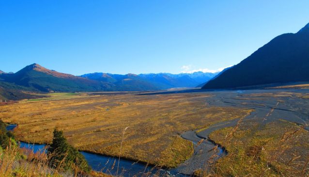
It is the most popular day hike in Arthur's Pass National Park and it is a day that you will not soon forget. Considered by many to be the jewel in the crown of Arthur's Pass, Avalanche Peak track is a strenuous six to eight hour day hike. Climbing 1100 meters above the village to the summit, you are rewarded by jaw dropping vistas of Black Range, Mount Rolleston and Crow Glacier. You can reach the trail by following a short path behind the visitor centre. Head north until you pass behind the first house and you will find the trail sign posted just before the bridge over Avalanche creek.
Parts of the track above the village are steep enough that they require you to use your hands to hold tree roots or pull yourself up over rocks. Once above the bush-line, the track is marked by yellow stakes all the way to the summit. Even well past the height of summer there may be snow patches below the summit so exercise extra caution when crossing these areas. As you approach the summit ridge you will see orange markers marking Scott's track to your right. The two tracks join for the last few meters to the summit.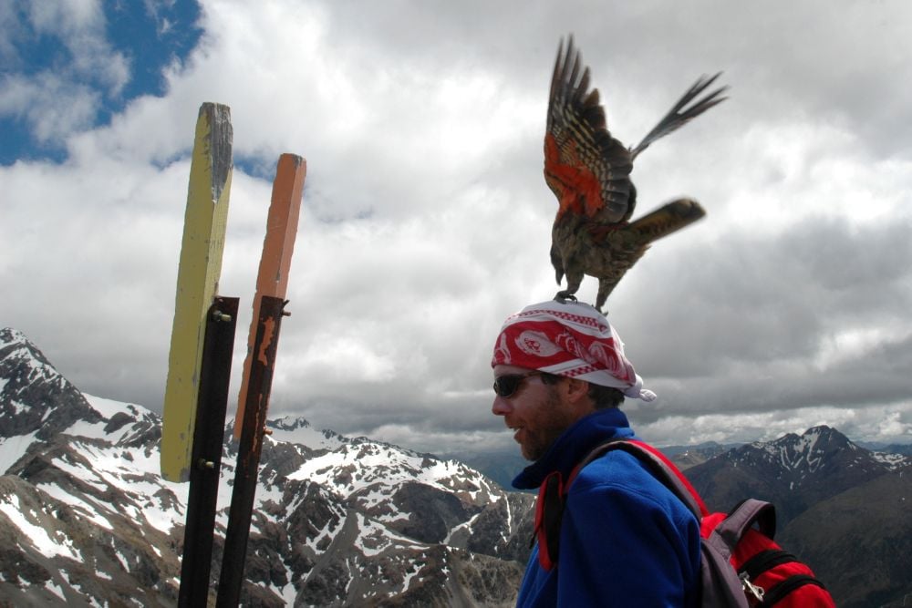 Scott's Track
The start of this alternate route to the summit of Avalanche Peak is sign posted just north of the village along SH73 opposite Devil's Punchbowl Falls. This route is not as steep as the Avalanche Peak track and affords great views of Devil's Punchbowl, Mount Rolleston and Crow Glacier before you pass above the bush-line. This is an excellent choice if you want great views but don't want to risk the exposed upper parts of the trail. Many hikers, including this author, prefer to go up by Scott's track and come down by the Avalanche Peak track.
What To Do If You Are Lost
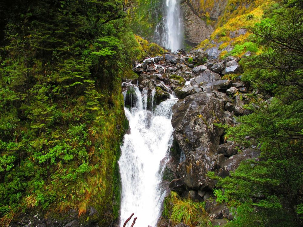
Don't panic. If you find yourself off the trail, retrace your steps until you find the point at which you left the trail. If you are descending through the bush, do not try to continue going down to intercept the trail. This area has many cliffs and hidden ravines that will make it impassable. If it is getting dark, then stay where you are until daybreak. If you have left your intentions at the DOC visitor centre or have notified someone of your plans, search and rescue procedures will be initiated when the DOC or police are notified that you have failed to return.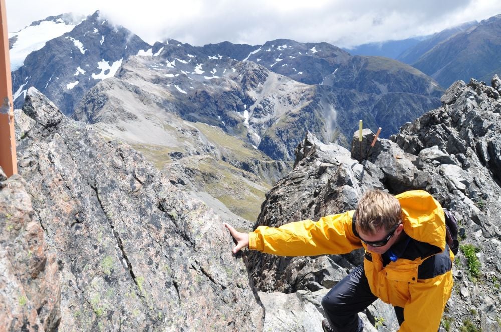 Devil's Punchbowl
If you are just passing through, or if the weather is keeping you out of the high country, the hike to Devil's Punchbowl is a great break or rainy day alternative. In fact, the 130 meter high Devil's Punchbowl Falls is at its thundering best on a rainy day. Heading out of town, a sign just west of Arthur's cafe directs you to the parking lot for the hike. From the parking lot, two bridges lead you to the wide and well maintained path that leads up to a viewing platform at the base of the falls. In the days when travel through the pass was by horseback and stagecoach, Devil's punchbowl was a must-see attraction for visitors to the area.
Dangerous Weather
Powerful storms tracking across the Tasman Sea are not uncommon and clear sunny days in the Southern Alps can turn to near zero visibility in less time than it takes to get safely down from exposed higher elevations. 24 hour rains can reach 100 to 250mm, turning dry gravel flats into raging rivers and hiking trails into waterfalls. Easy access to high country tracks and unprepared hikers have been blamed for the continuing high number of hiking related accidents and deaths in this area.
The Comical Kea
Even if you just stop by for a snack at the Arthur's Pass Cafe, it is a rare visit that doesn't include an encounter with a Kea. A peculiarly adapted species of alpine parrot, the Kea are both a pest and a visitor attraction. A popular local watering hole, the Wobbly Kea, is named for their John Wayne like swagger. In flight they glide effortlessly on mountain winds. Don't be surprised if one joins you for lunch on the summit.
Tales of Kea mischief are as varied as they are numerous. Their can-opener shaped beaks are well suited for shredding shoes, backpacks, and even credit cards. While you enjoy your visit and the free entertainment from these curious locals, keep an eye on your belongings so you don't go home with your own personal Kea tale of woe.